






Events

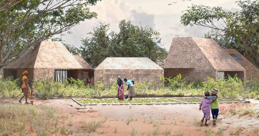
West Africa stretches from the Atlantic and Gulf of Guinea coasts to the southern edge of the Sahara. The Sahel forms a broad semi-arid transition in the north, giving way to savannas, forest zones and humid tropical coasts farther south. The Niger River is the region’s dominant drainage system, complemented by the Volta basin and uplands such as Fouta Djallon and the Guinea Highlands. These contrasts strongly influence settlement, agriculture, transport and urban growth. Vernacular construction changes with the climate: across the Sahel, earth or banco, sun-dried brick and timber reinforcement underpin major building traditions, including Sudano-Sahelian forms that require regular maintenance after seasonal rains. Farther south, earth is combined with timber, bamboo, palm and thatch; steeper roofs, generous eaves and more open or ventilated structures respond to heavier rainfall and humidity. Materials, forms and decorative practices also reflect the region’s many cultural and craft traditions.